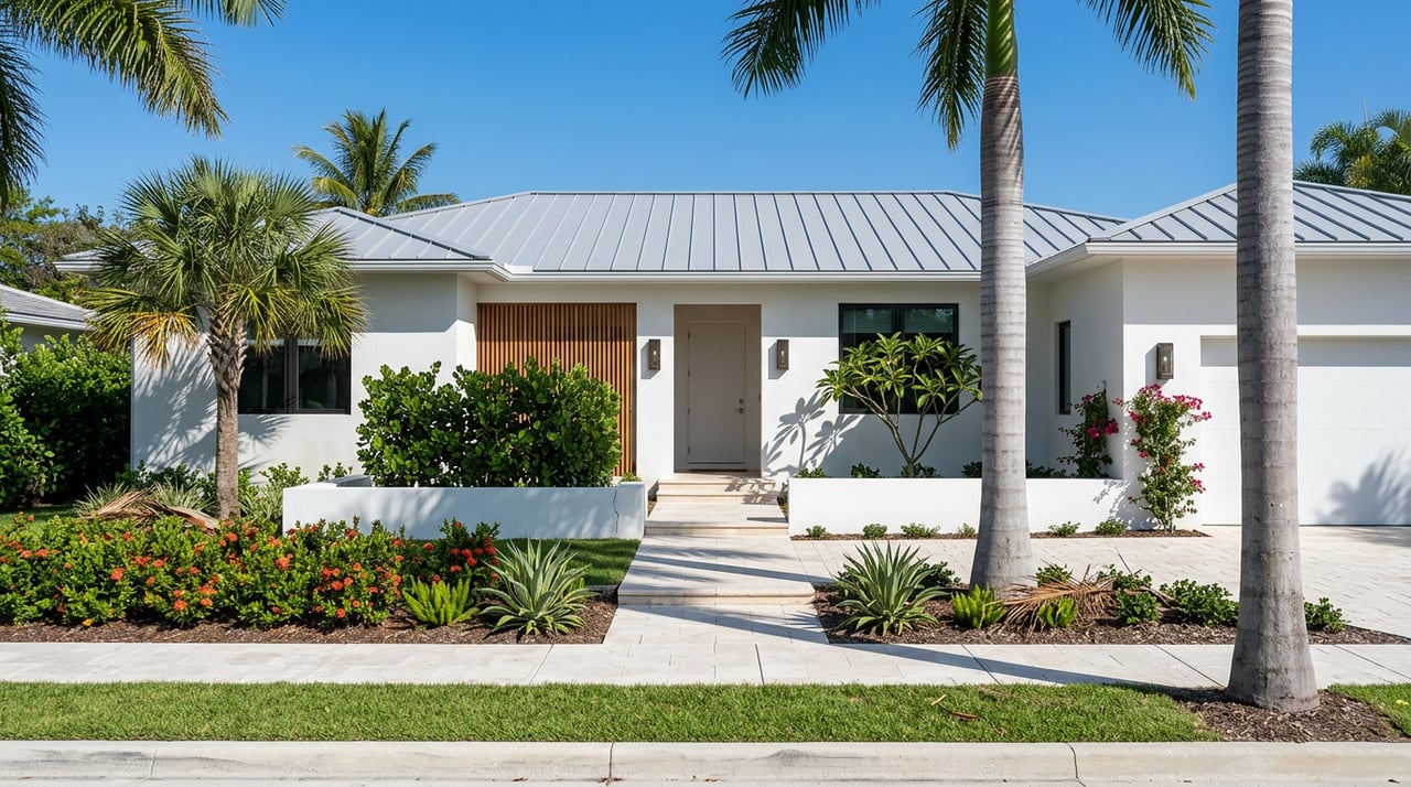
What 'Gulf Access' Means in Royal Harbor
December 4, 2025
December 4, 2025
If you love to boat, the phrase “Gulf access” in a Royal Harbor listing is exciting. It signals you can step from your dock onto your boat and head for open water without trailering. Still, what it means in practice can vary by property. The details matter for boat size, draft, and everyday convenience.
In this guide, you’ll learn how Gulf access works specifically in Royal Harbor, how the canals connect to Naples Bay and out through Gordon Pass, and what to verify before you write an offer. You’ll also get a clear checklist for showings so you can match the property to your boat and your plans. Let’s dive in.
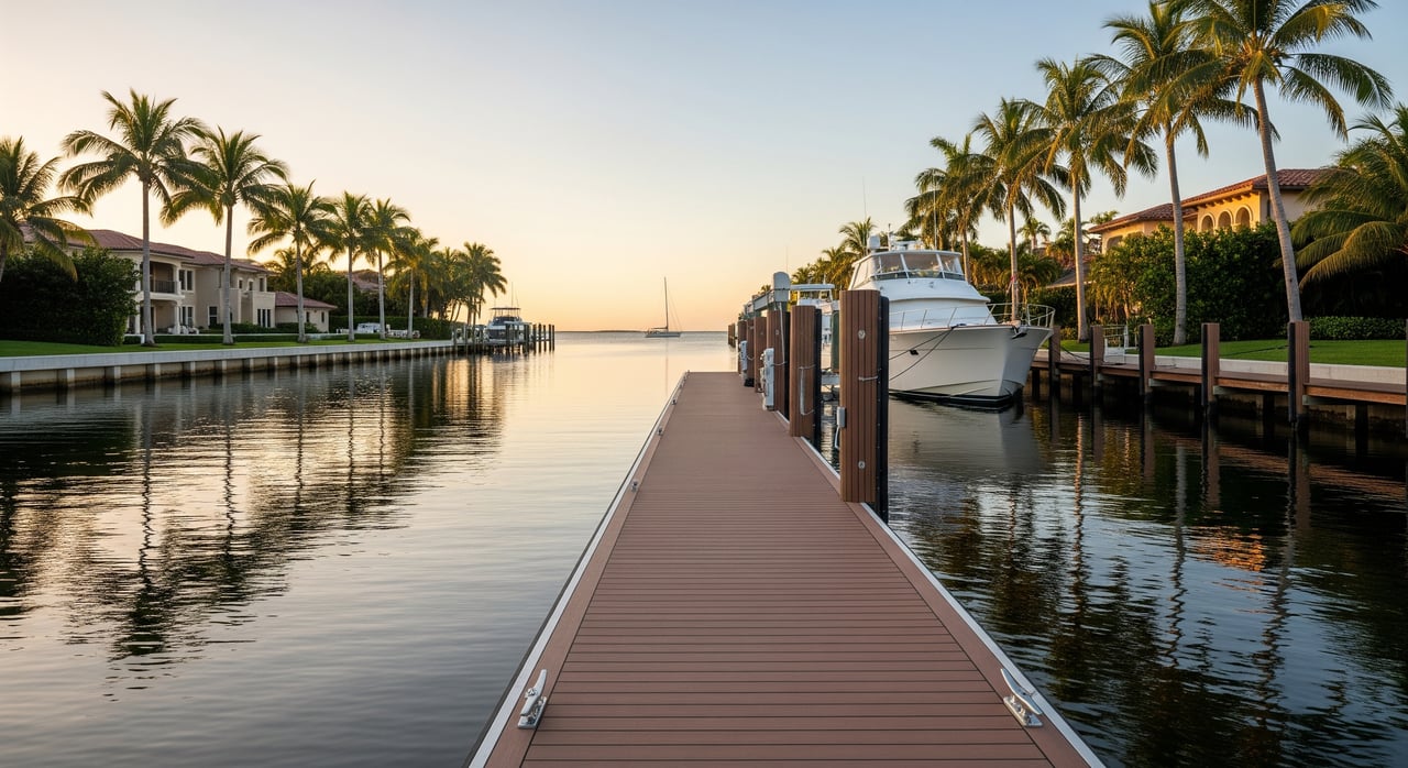
“Gulf access” means a navigable water route from your dock or seawall to the Gulf of Mexico through the local canal and bay system. In Royal Harbor, that means entering Naples Bay, then transiting Gordon Pass to reach the open Gulf.
“Gulf front” is different. Gulf front homes sit directly on the open Gulf. Royal Harbor homes sit on canals that connect to the Gulf but are not directly on it.
You will also see terms like “direct Gulf access,” “no fixed bridges,” and “deep water.” These describe bridge clearance and depth, which can limit your boat. Always confirm the numbers and what tide level they reference.
Royal Harbor’s canals open into Naples Bay, part of the Naples–Marco Estuary system. From there, you exit to the Gulf through Gordon Pass, which is the primary inlet for local boaters headed offshore.
Gordon Pass is tidal. Currents are strongest near the inlet, and shoaling can reshape the channel over time. Periodic dredging and maintenance occur to maintain depth, and timing can affect passage. Plan your runs with tide and current in mind, especially for larger drafts, and look for local navigation notices before longer trips.
Tidal variation in Naples is moderate, but low tide can reduce available draft at seawalls and in shallower canals. Owners often reference depths to a tidal datum, such as mean low water, for clarity.
For route planning, consult current nautical charts and local aids to navigation, and check with marinas or harbormasters for the latest on depths and shoaling.
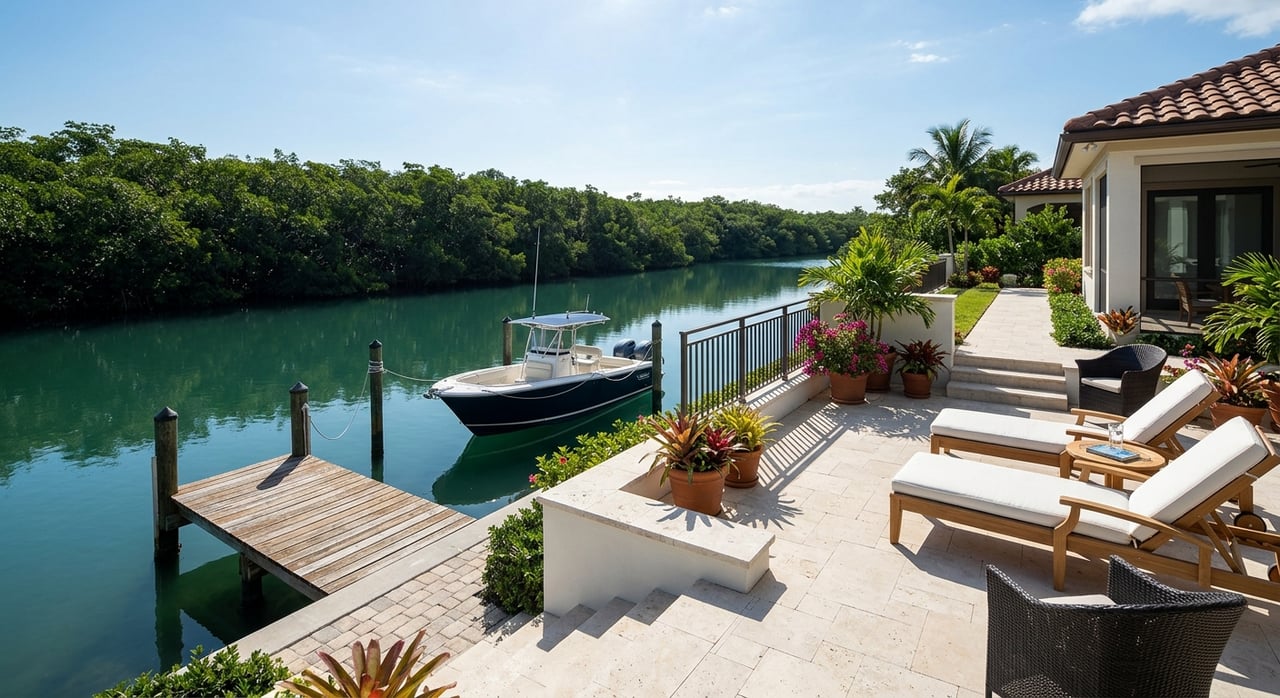
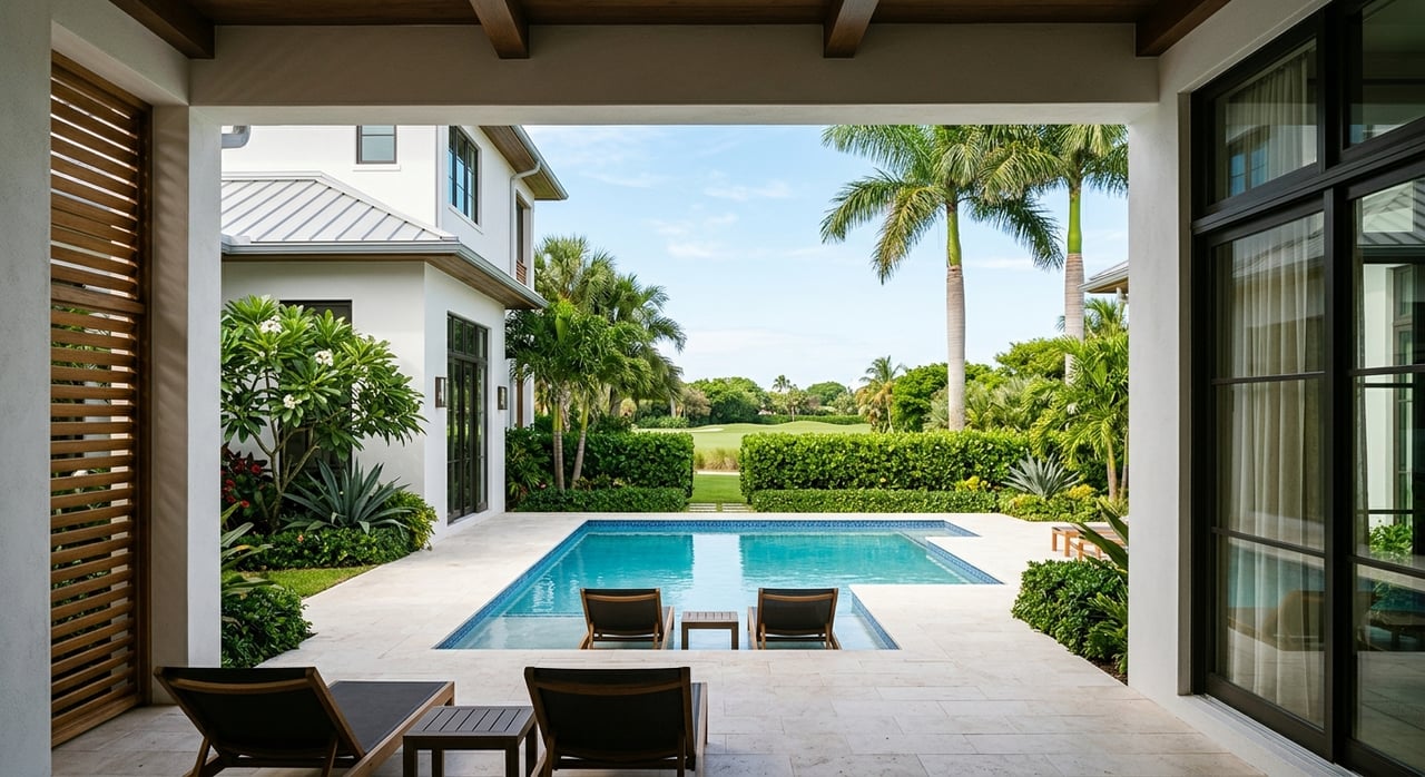
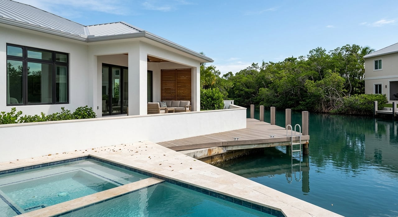
Royal Harbor is a canal neighborhood of single-family lots with seawalls and private docks. Canal width and depth vary by location. Some homes sit on wider main canals with more room to turn larger vessels. Others sit on finger canals or cul-de-sacs that may limit maneuvering and practical boat length.
Most properties have concrete seawalls or similar bank protection. Seawall condition and permit history matter for both flood resilience and any dock or lift upgrades you may want to make.
Common dock setups include:
You will also see shore power, freshwater spigots, dock ladders, cleats, bumpers, and pilings. Covered boathouses are less common and depend on local permitting.
Maximum boat size is not one-size-fits-all. It depends on canal width, the distance to opposite docks, turning radius, your slip’s usable length, and water depth at the seawall. If a listing claims it “fits a 40’ boat,” verify how that was measured and whether it includes fender space and turning clearance.
Real estate listings use shorthand. Here is how to read it and what to ask next:
Use this list to protect your plans and your budget:
Helpful questions for the listing agent:
Waterfront improvements usually require approvals at multiple levels. In Collier County, dock or seawall construction, replacement, or enlargement typically involves county permits. State-level review can apply for work within waters of the state, and federal review may apply for navigable waters or wetlands.
Before you purchase, verify that the existing dock and seawall were built with the proper permits and closed out with final inspections. Unpermitted work can be expensive to correct and may delay insurance or future upgrades.
Key agencies to know:
If you plan changes after closing, discuss feasibility, timelines, and approvals before you finalize your offer.
Gordon Pass experiences strong currents during tidal changes. Inexperienced boaters or those running deeper drafts should time transits near slack or favorable tide when possible. Keep your charts and local information current for the latest on channel shape and depths, which can shift with shoaling.
Hurricane season planning is part of waterfront ownership. Boat lifts, canopies, and docks are vulnerable during storms. Your insurer may require a storm plan for vessels and lifts, including tie-downs, removal of covers, or move-out procedures. Confirm these expectations ahead of time.
Canal traffic can be heavy in peak season. Observe no-wake rules, ask neighbors about typical patterns, and plan for safe, courteous operations that protect docks and seawalls.
Waterfront homes often carry different insurance requirements. You should budget for wind and hurricane deductibles and consider flood insurance. If you keep a vessel on a lift or in the slip, coordinate with your boat insurer on coverage, named storms, and any lift or mooring requirements.
Getting early quotes can help you compare properties, especially when elevation, flood zone, and seawall condition vary. An elevation certificate, if available, can streamline underwriting.
Use a simple framework to avoid surprises:
In Royal Harbor, “Gulf access” is your invitation to a boating lifestyle. Your dock connects you to Naples Bay and out through Gordon Pass to the Gulf. What it does not guarantee is unlimited depth, unlimited turning room, or unlimited clearance. That is why you confirm numbers, permits, and local conditions before you buy.
With a thoughtful checklist and the right local guidance, you can choose a home that fits both your boat and your lifestyle.
Ready to explore canal-front homes with true Gulf access and the right dock setup for your vessel? Connect with the family-led team that specializes in luxury waterfront living in Naples. Reach out to the Burnham Group to start your search.
May 21, 2026
May 14, 2026
May 7, 2026
April 23, 2026
April 16, 2026
April 2, 2026
March 24, 2026
March 5, 2026
February 19, 2026
Backed by a seven-person professional staff, as well as decades of experience, vast community connections and unmatched marketing expertise, buyers and sellers can expect comprehensive, personalized attention from list to sale. Contact us now!